Maryland
Welcome to Maryland
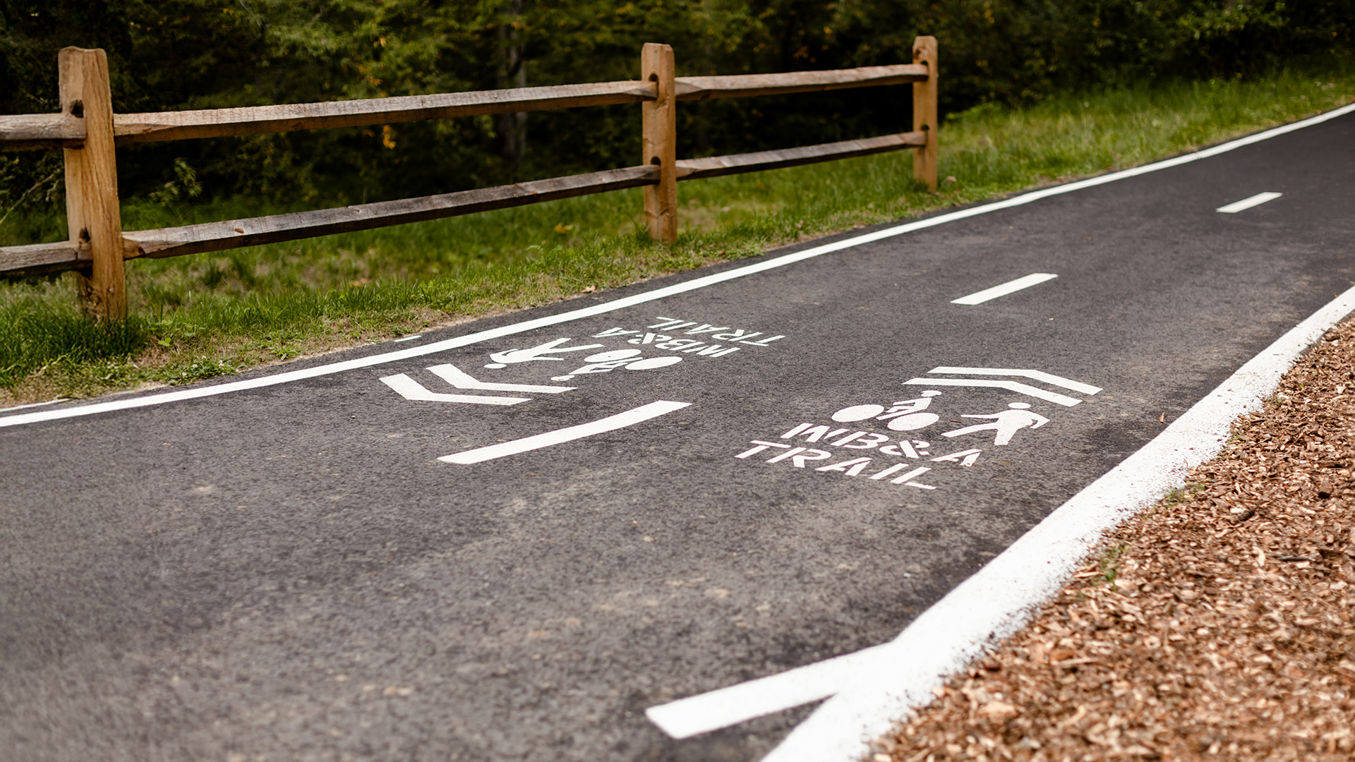
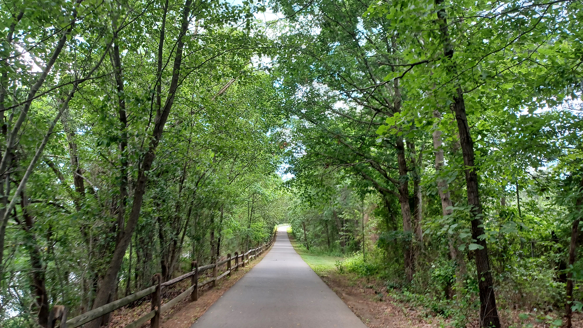
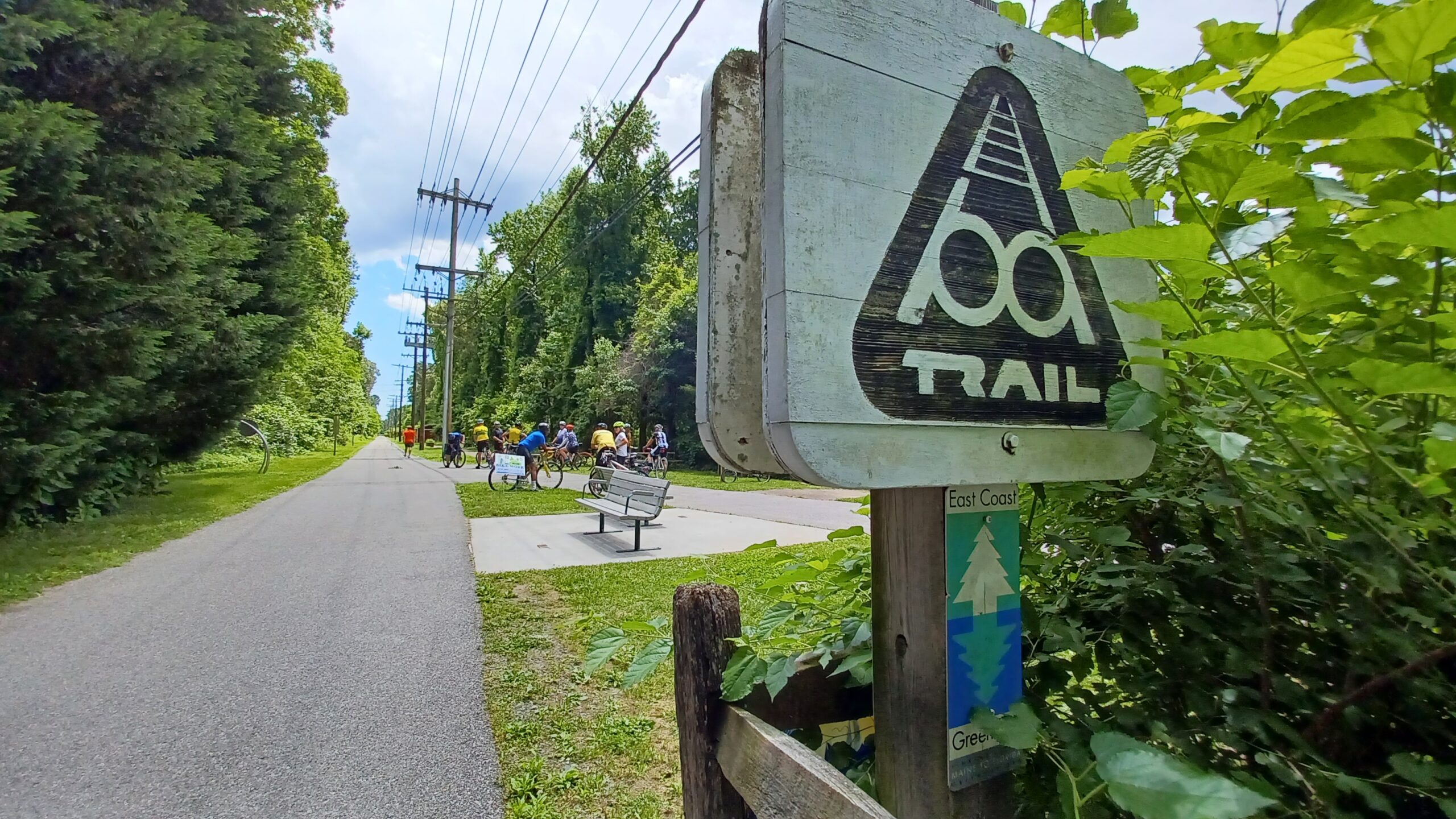
Maryland’s Greenway offers a rich mix of rural landscapes, historic towns and urban waterfronts. Highlights include the forested Torrey C. Brown Rail Trail north of Baltimore, the scenic Jones Falls Trail into the city, and the popular Baltimore & Annapolis (B&A) Trail leading to the historic port of Annapolis.
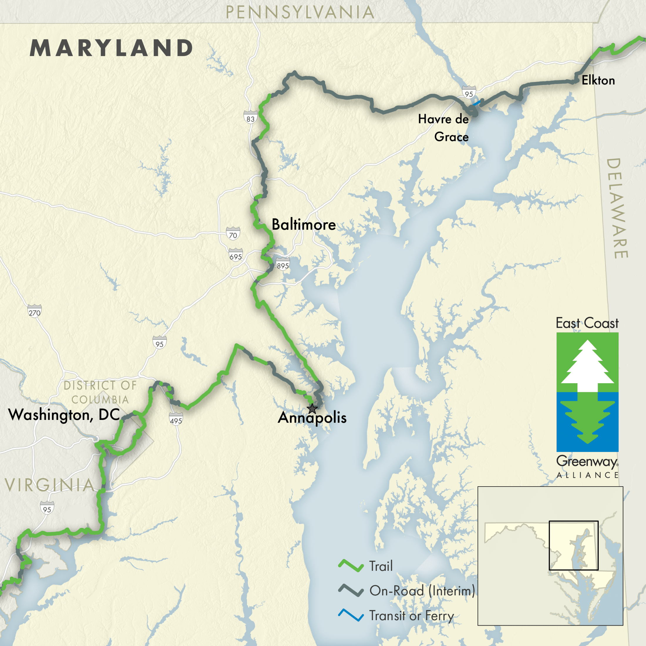
Entering Maryland from the north at Newark, Delaware, the route heads west on road to connect a number of historic towns nestled along the northernmost reaches of the Chesapeake Bay, including Elkton, Charlestown, and Perryville, which is located right at the mouth of the Susquehanna River across the river from Havre de Grace.
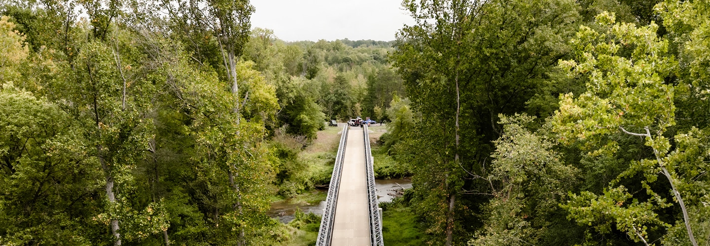
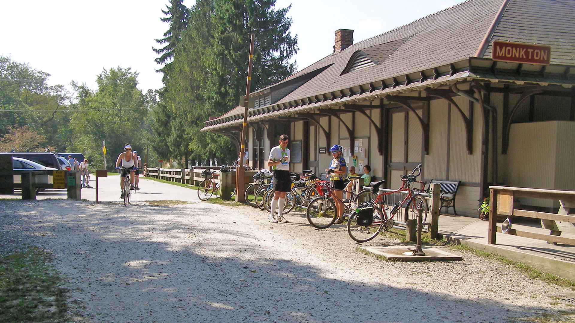
Once across the Susquehanna, Havre de Grace is a jewel on the river’s south shore, offering restaurants and lodging. Continuing west on an interim on-road route, travelers cross rural Harford County to Monkton and trailhead of the unpaved and forested Torrey C. Brown Rail Trail (also known as the Northern Central Rail Trail). The Ashland Amish Market in Cockeysville makes for a nice stop along the route.
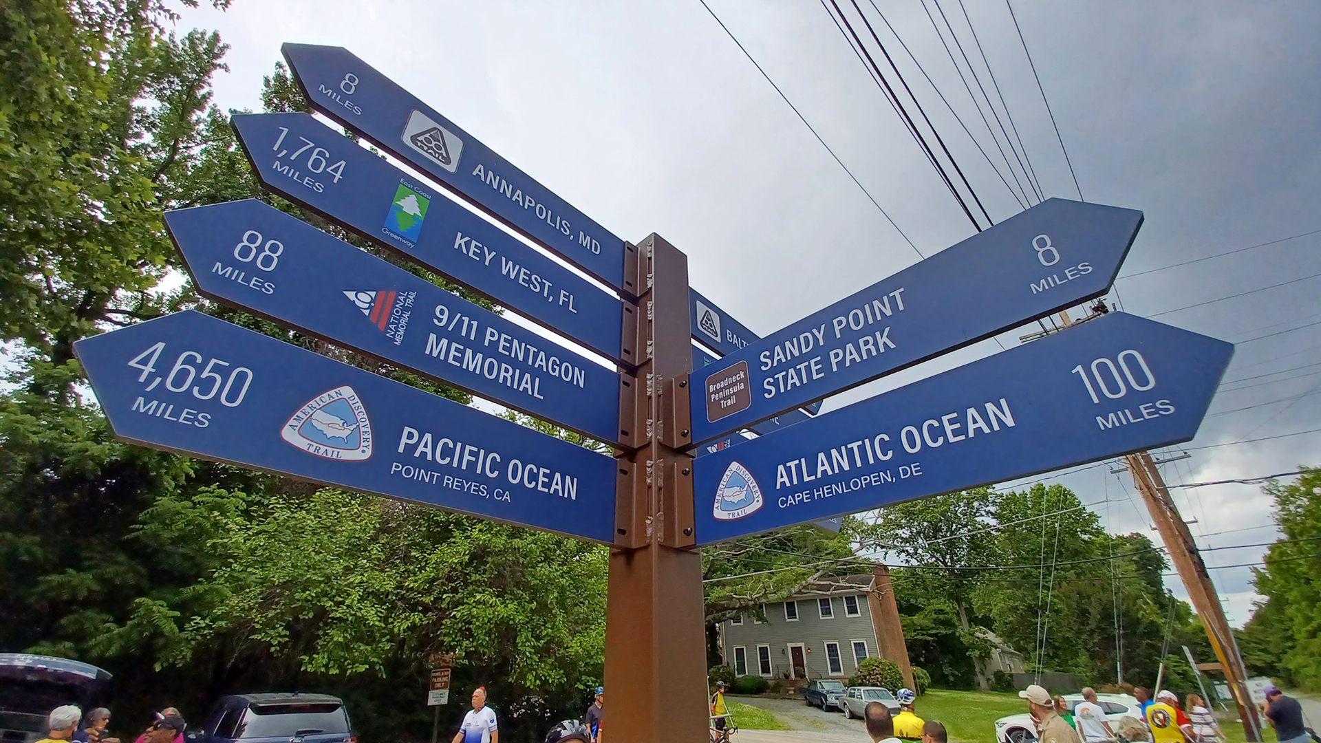
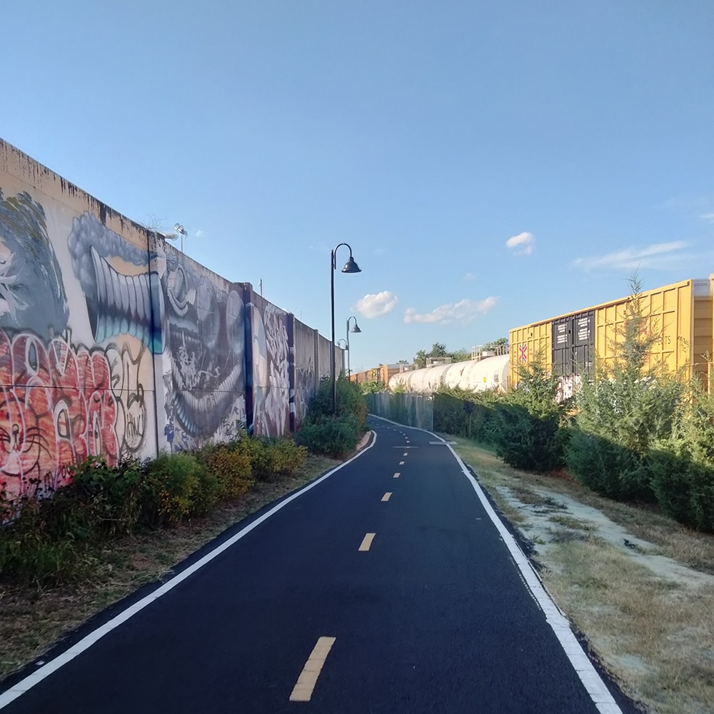
Another on-road section connects to the Jones Falls Trail, which takes travelers down into Inner Harbor of Baltimore then further south to the Middle Branch Trail. The route linking Baltimore, Annapolis, and Washington, D.C., is one of the most complete sections of Greenway. Shorter on-road sections link together lengthy stretches of trails, including the BWI Trail, the Baltimore & Annapolis (B&A) Trail, South Shore Trail, and the Washington Baltimore & Annapolis (WB&A) Trail.
Connecting suburban communities into Washington, D.C., is the northeast branch of the Anacostia Tributary trails, making the going easier and more scenic as the population density increases.
Explore the Greenway & Future Trails
Choose a tab below to explore the Greenway route today and the progress moving it forward.
Route Notice
Crossing the Susquehanna River by bus is highly recommended between Perryville and Havre de Grace. There is NO PEDESTRIAN access over the Hatem Bridge and bike access is limited to Sundays only and requires biking in EXTREMELY HIGH STRESS CONDITIONS. More detailed Susquehanna River crossing options are outlined below:
- BUS with BIKE: Harford Transit LINK Teal Line Route 5 bus service is available on weekdays only; up to 2 bicycles per bus between Havre de Grace and Perryville.
- Southbound travelers are recommended to take the bus from the White Horse Apartments bus stop in Perryville to the Royal Farms bus stop in Havre de Grace. (Google directions)
- Northbound travelers are recommended to take the bus from McDonald’s bus stop in Havre de Grace to the Lindy’s Market (Aiken Ave) in Perryville. (Google directions)
- Check Harford County, MD Bus Routes page and the Teal Line bus schedule for more information on bus stop locations, schedule, and fare payment
- MARC TRAIN access available only on weekdays between Perryville and Aberdeen stations, bikes can be carried onboard on all MARC trains until capacity is full;
- RIDE-HAILING taxi services located in Northeast and Aberdeen, also check for Uber/Lyft drivers in area (be sure to check for plus size vehicles to fit bicycles if needed);
- BICYCLE ACCESS on the Hatem Bridge is only allowed on Sundays and State holidays, between dawn and dusk, and only for the most confident and experienced cyclists who must be 18 or older. Note wide tires are recommended for traversing bridge expansion joints; cyclists should push the designated button before crossing — located here when heading northbound from Havre de Grace; or located here when heading southbound from Perryville — to activate warning lights for traffic to alert drivers to a cyclist on the road. Expect extremely high stress riding conditions in traffic with no shoulder space and do not ride in inclement weather/high winds. MdTA will also restrict access during inclement weather with updates at their website. UPDATED RESTRICTIONS AS OF FEB. 23, 2024: Maryland Transportation Authority (MdTA) already prohibits biking on weekdays and it will also now prohibit biking on Saturdays during the authority’s bridge painting project, estimated to continue through May 2026. For more details and a schedule of the closures, see: https://mdta.maryland.gov/Toll_Facilities/Hatem_Bike_Access.html Experienced cyclists looking to bike over the Hatem Bridge on Sundays should read through the Maryland Transportation Authority FAQs on the Thomas Hatem Bridge.
- BICYCLE DETOUR to Conowingo Dam is an alternative bike route to cross the Susquehanna River; however, note that this can add around 25 miles to the route total.
Traveling by train? Here are some quick tips when using Amtrak with your bike: Do your research in advance; each train line features different bike rack equipment and loading procedures. Check Amtrak for the latest and when in doubt: call the station if you have questions.
Designated Trails
Mileage counts reflect the portion of each trail that is part of East Coast Greenway.
- Torrey C. Brown Rail Trail (Northern Central Rail Trail); 7.2 mi
- Jones Falls Trail, Baltimore; 8 mi
- Gwynn’s Falls Trail – Middle Branch Trail, Baltimore; 2.8 mi
- Belle Grove Rd sidepath, Anne Arundel Co.; 0.9 mi
- BWI Trail, BWI Airport; 4.6 mi
- B&A Trail, Annapolis-Glen Burnie; 13.4 mi
- Colonial Annapolis Maritime Trail System, Annapolis; 1.2 mi
- South Shore Trail – Phase 1, Anne Arundel Co.; 1.6 mi
- South Shore Trail – Phase 5, Anne Arundel Co.; 0.5 mi
- Odenton Road Bicycle Path, Odenton; 0.9 mi
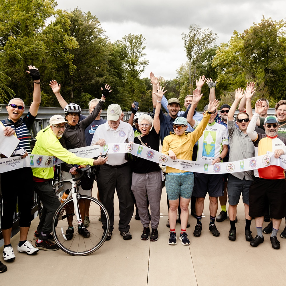
- WB&A Trail, Anne Arundel County; 12.7 mi
- Northeast Branch Trail, Prince George’s Co.; 4.7 mi
- Anacostia River Trail; 2.6 mi
- Northwest Branch Trail, Prince George’s Co.; 2.3 mi
Where We’re Focusing
-

Susquehanna River Crossing & Approach
Harford County is designing a trail from Aberdeen to Havre de Grace while MDOT studies a crossing of the Susquehanna.Learn More -
Greenbelt East Trail
Maryland DOT is studying a trail from Greenbelt east to the WB&A Trail along Greenbelt Road in Prince George’s County.Learn More
Progress Update
The East Coast Greenway has numerous trail segments completed between Baltimore, Annapolis, Washington, D.C. and Northern Virginia. Upcoming projects include filling gaps of the Middle Branch Trail in Baltimore and South Shore Trail in Anne Arundel County. There are a number of long-term projects being planned between Baltimore and Newark, Delaware, including a study of the Susquehanna River Crossing and a design for a trail from Aberdeen to Havre de Grace.

Suggested Itineraries
The Jones Falls Trail provides a scenic approach into the heart of Baltimore, while the B&A Trail offers a pleasant, mostly traffic-free ride to the historic port city of Annapolis.
Trail Experience


Sign up to stay updated


- Anacostia Trails Heritage Area / Maryland Milestones
- Anne Arundel Recreation and Parks
- Anne Arundel Trail Network
- Baltimore Greenway Trails Coalition (Rails-to-Trails Conservancy)
- Baltimore Metropolitan Council
- BaltPOP
- Bikemore
- Bike Harford
- Bike Maryland
- Bicycle Advocates for Annapolis & Anne Arundel County
- Capital Trails Coalition
- Cecil County Department of Planning & Zoning
- Friends of Anne Arundel County Trails
- Friends of the Greenbelt East Trail
- Harford County Department of Parks & Recreation
- Lower Susquehanna Heritage Greenway
- Maryland Department of Transportation
- Maryland Department of Natural Resources
- Maryland-National Capital Park and Planning Commission
- Maryland Transportation Authority
- NCR to Jones Falls Trail Coalition
- Potomac Heritage National Scenic Trail
- Washington Area Bicyclist Association