Featured Segments & Itineraries
Adventure Awaits
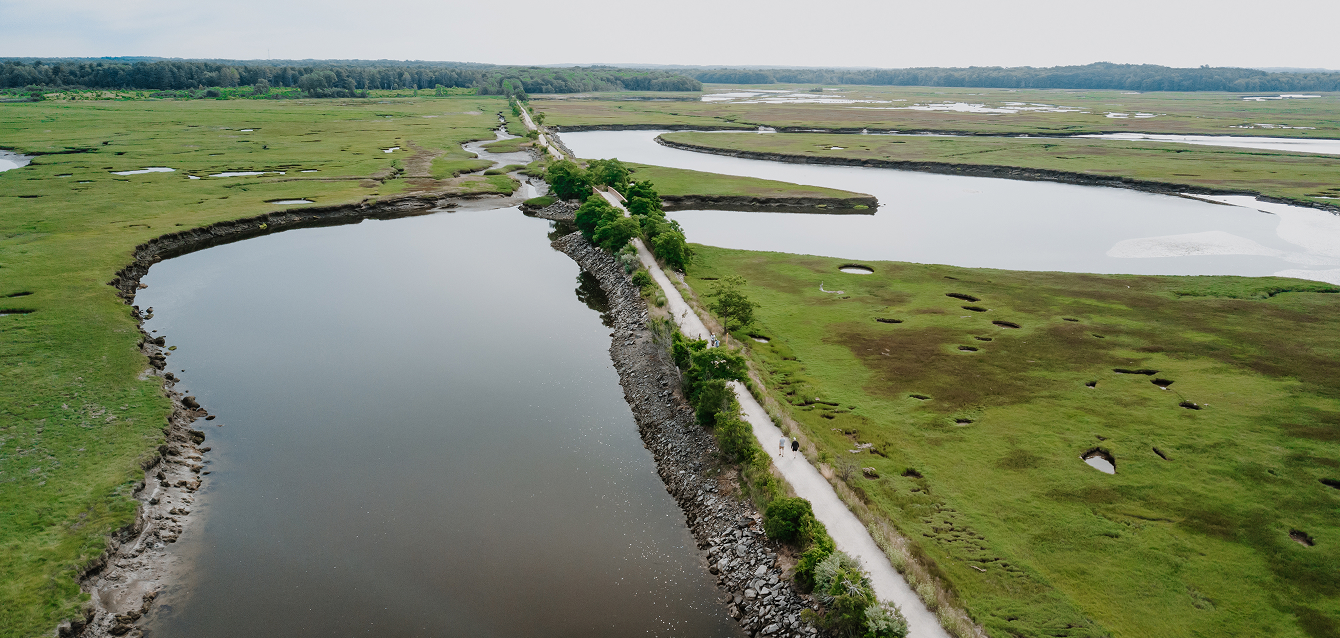
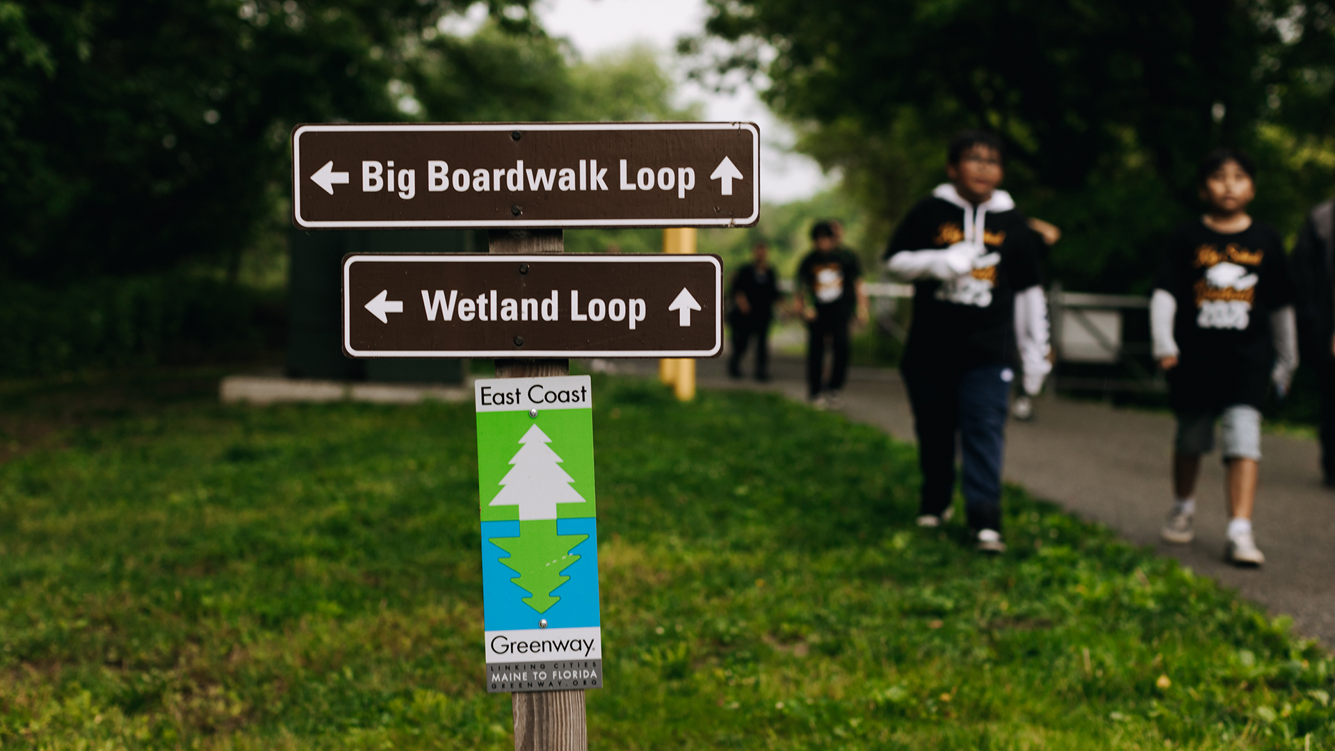
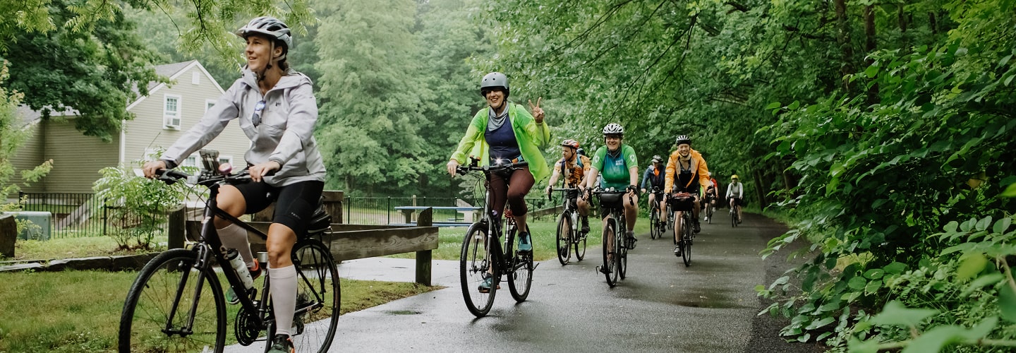
With a 3,000-mile route spanning the entirety of the East Coast, the possibilities are endless for day trips, multi-day excursions and long-distance rides along the East Coast Greenway. We often receive inquiries from folks with questions about where to ride or walk, accommodations, dining recommendations and much more. Click below for suggestions from our staff and other Greenway experts.
Southern New England Ride
Explore Itinerary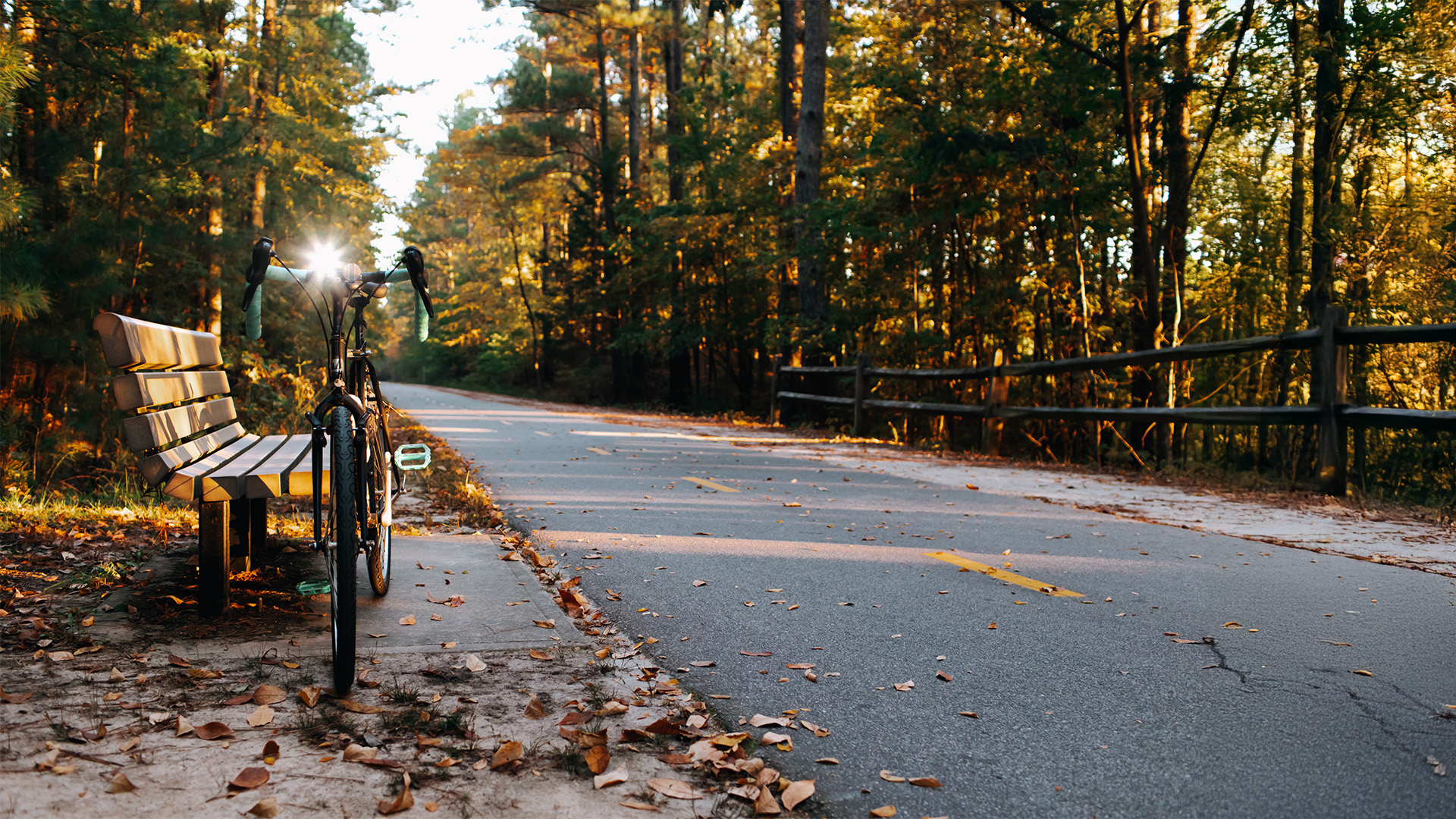
Cross-Triangle Ride
Explore Itinerary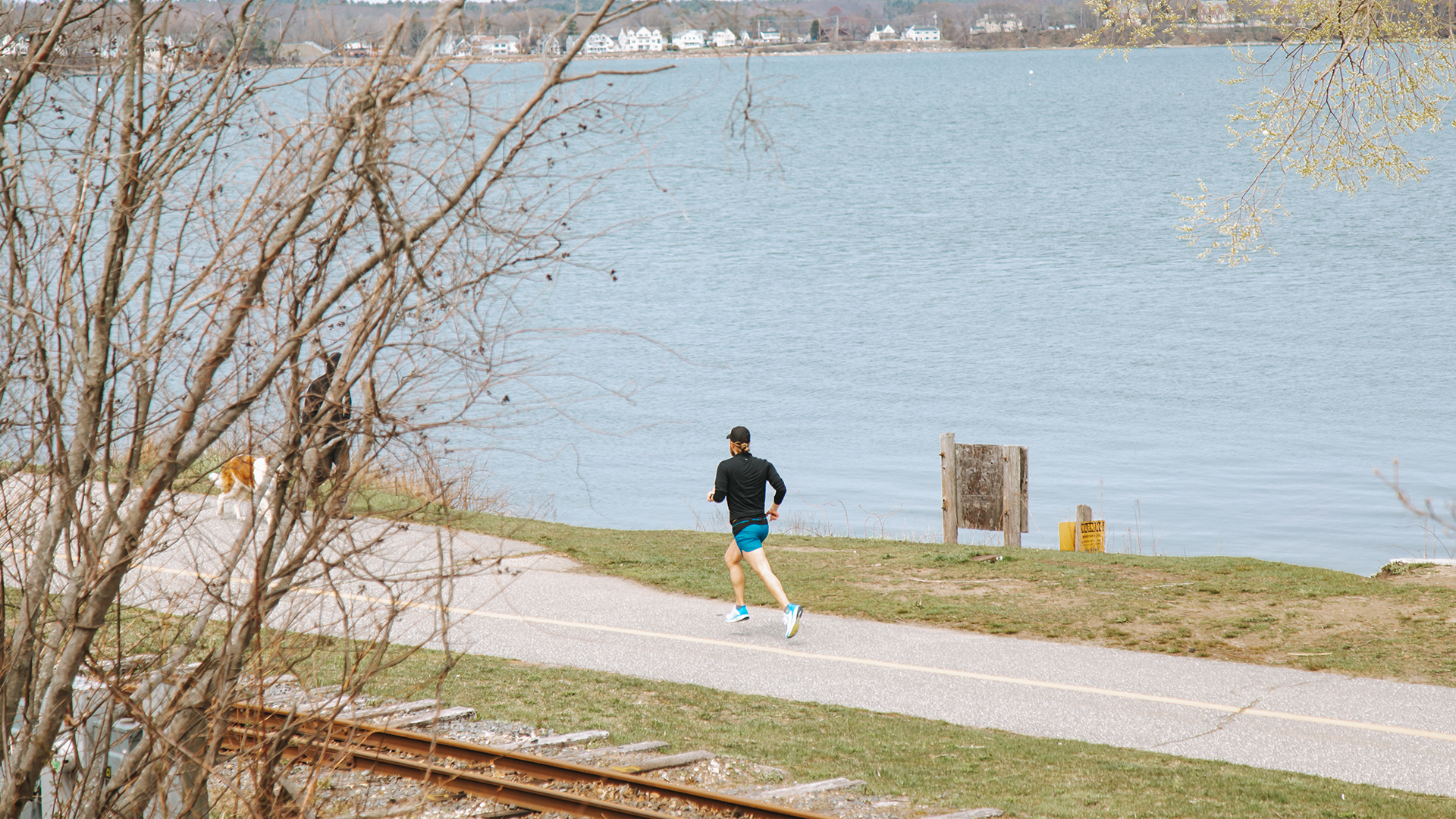
Coastal Maine Ride
Explore Itinerary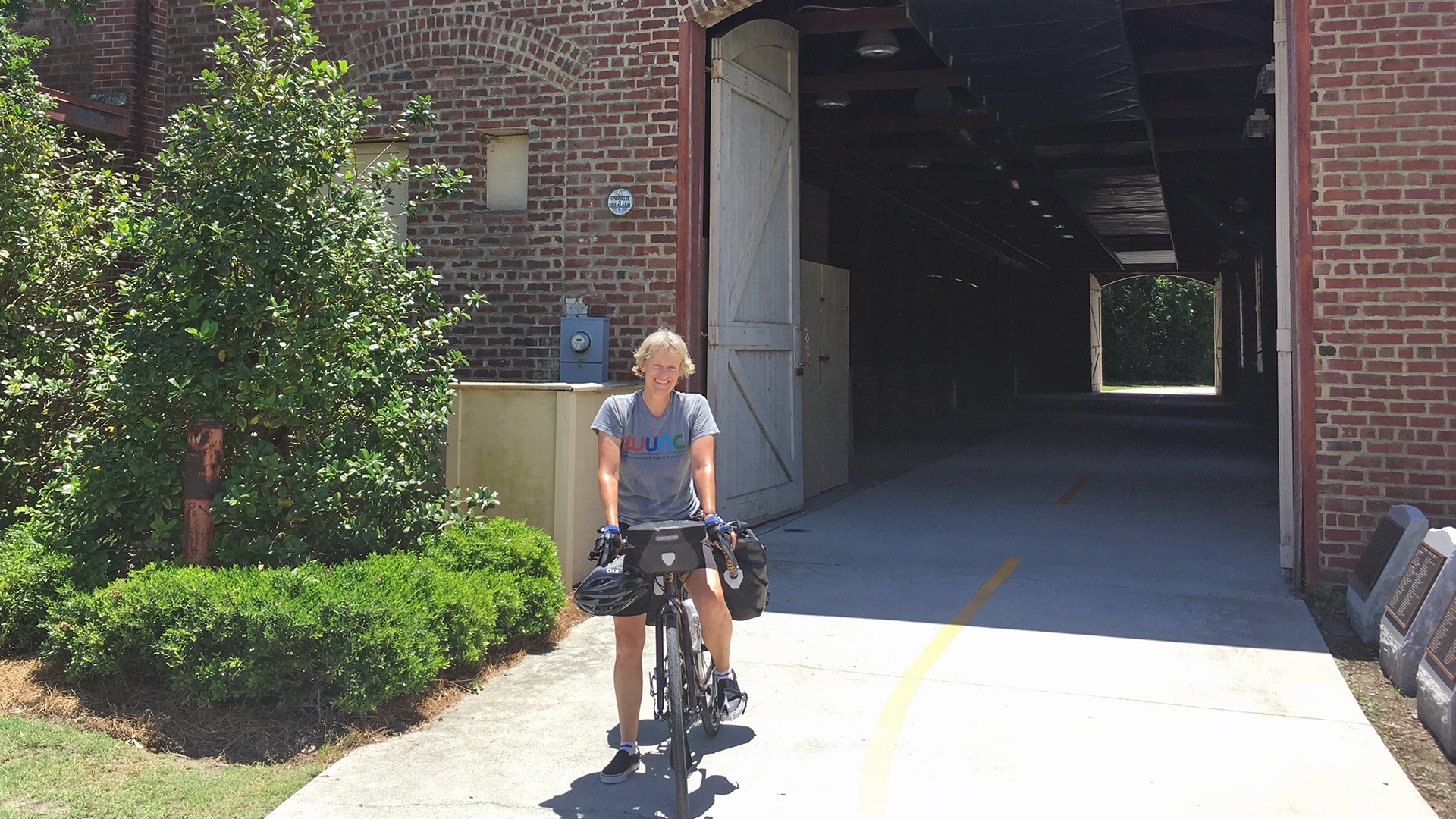
Spanish Moss Trail
Explore Itinerary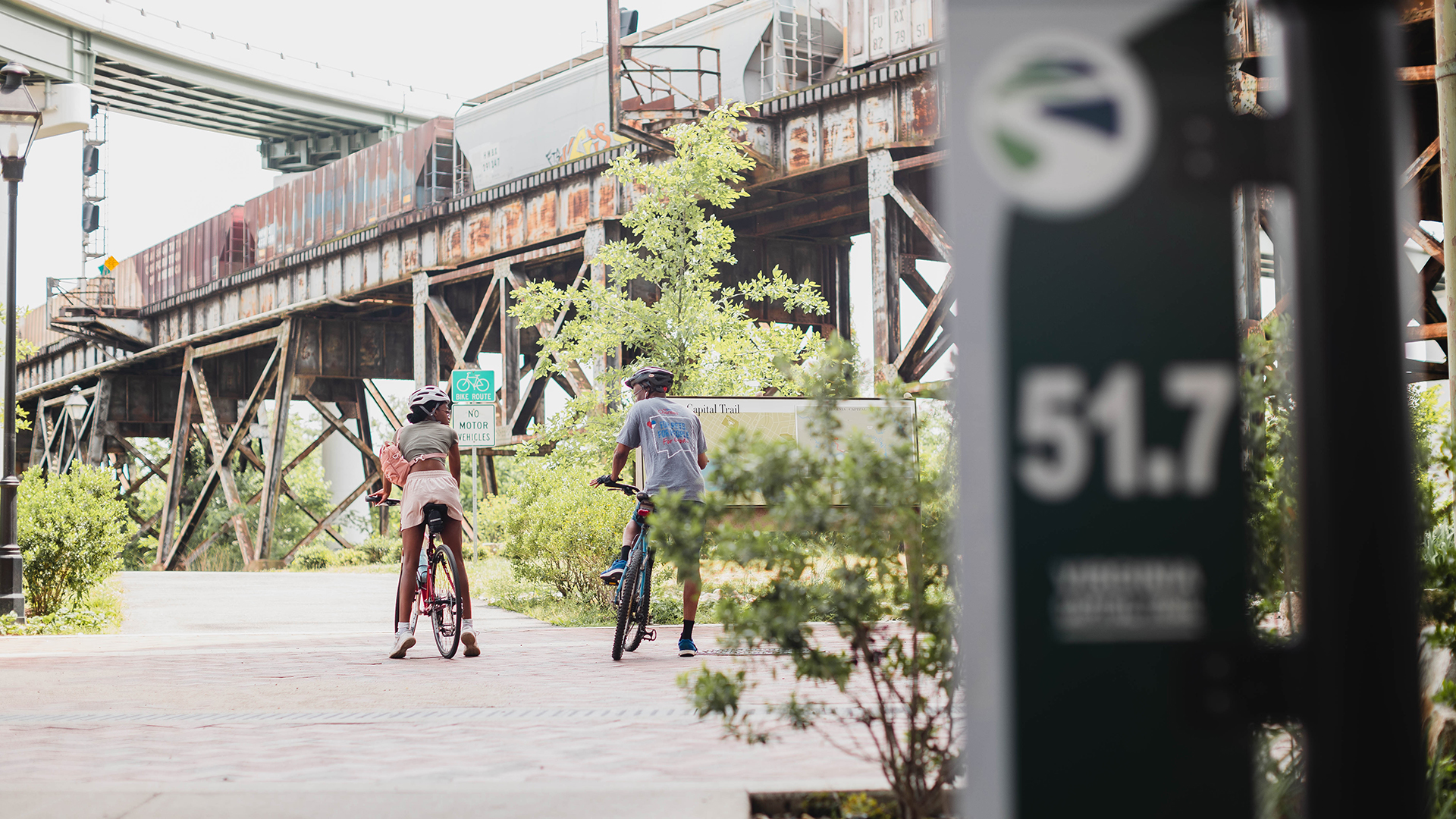
Virginia Capital Trail
Explore Itinerary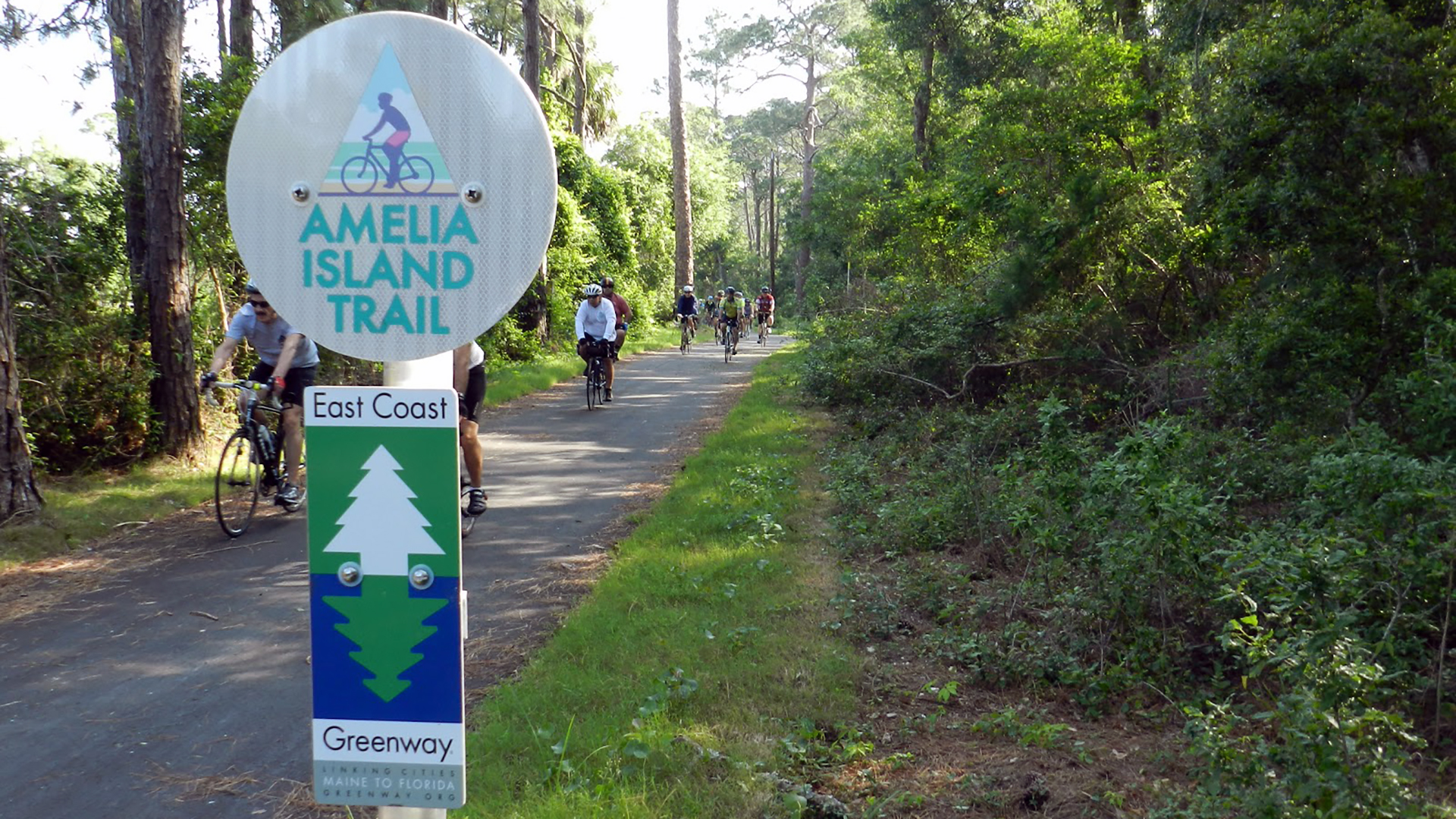
Amelia Island & Timucuan Trail
Explore Itinerary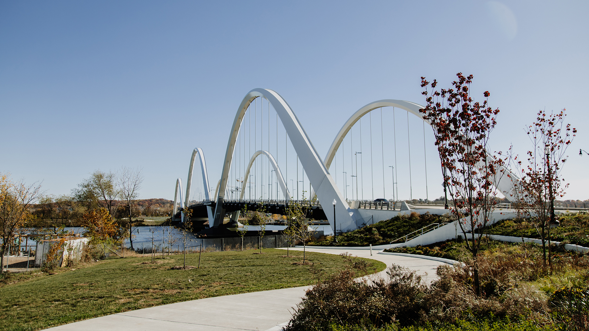
Anacostia River Trail
Explore Itinerary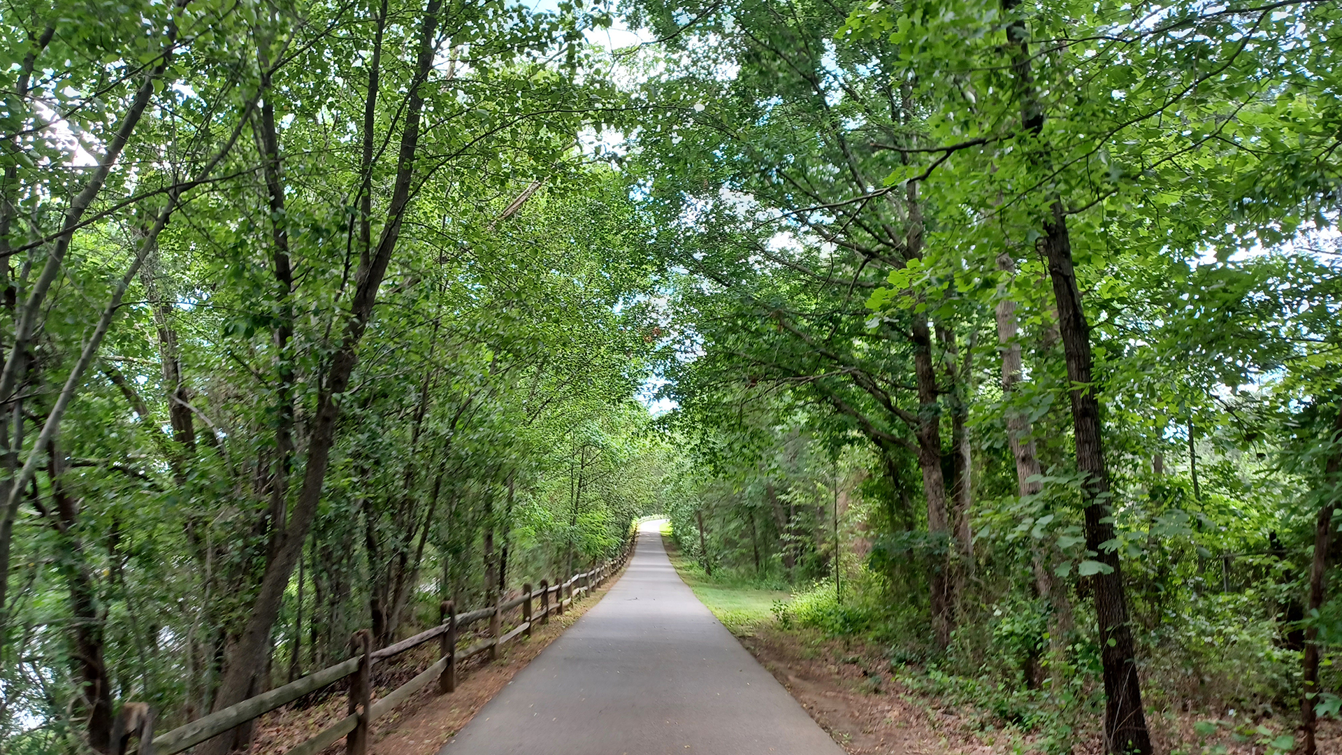
B&A Trail
Explore Itinerary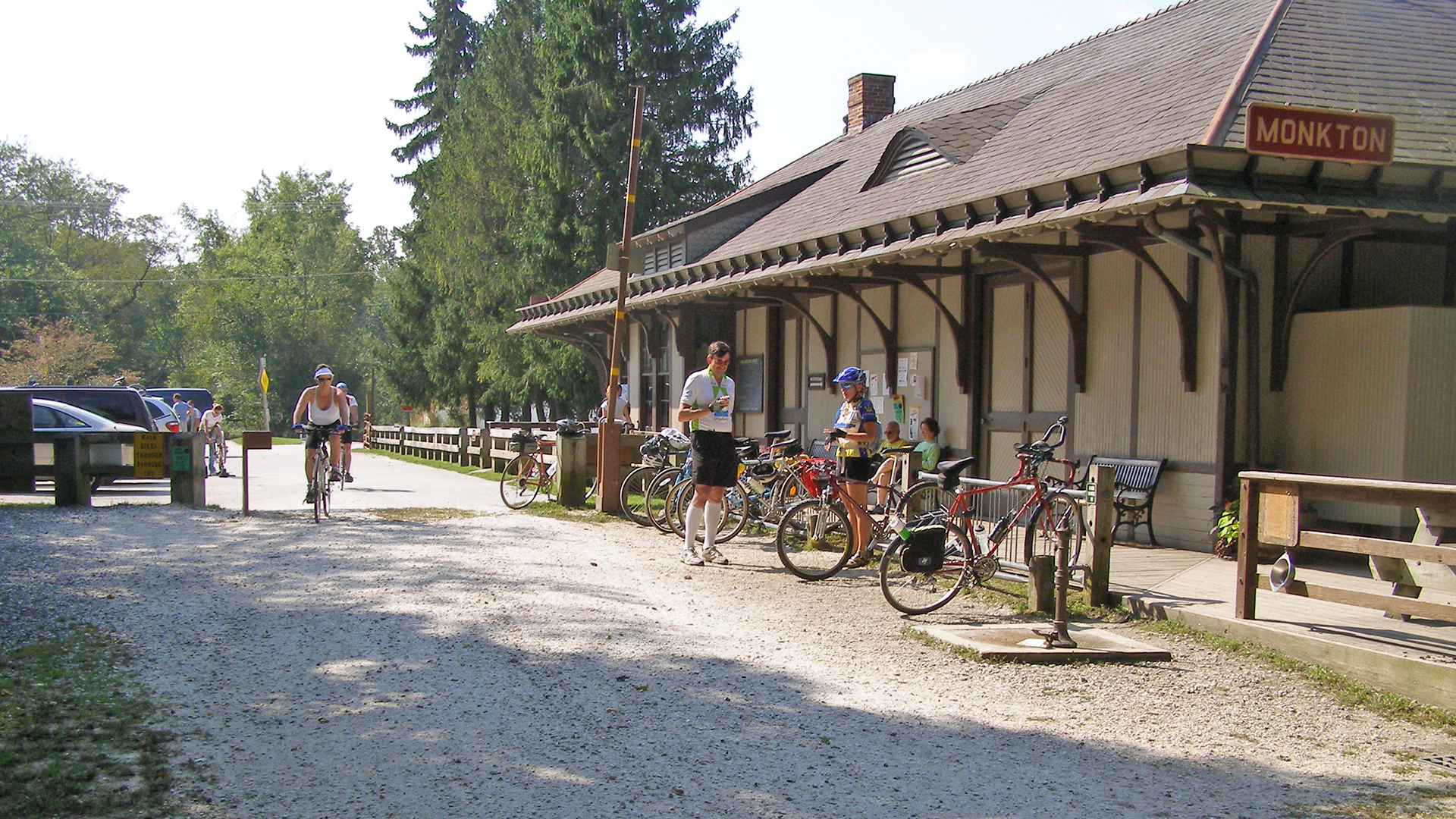
Torrey C. Brown Trail
Explore Itinerary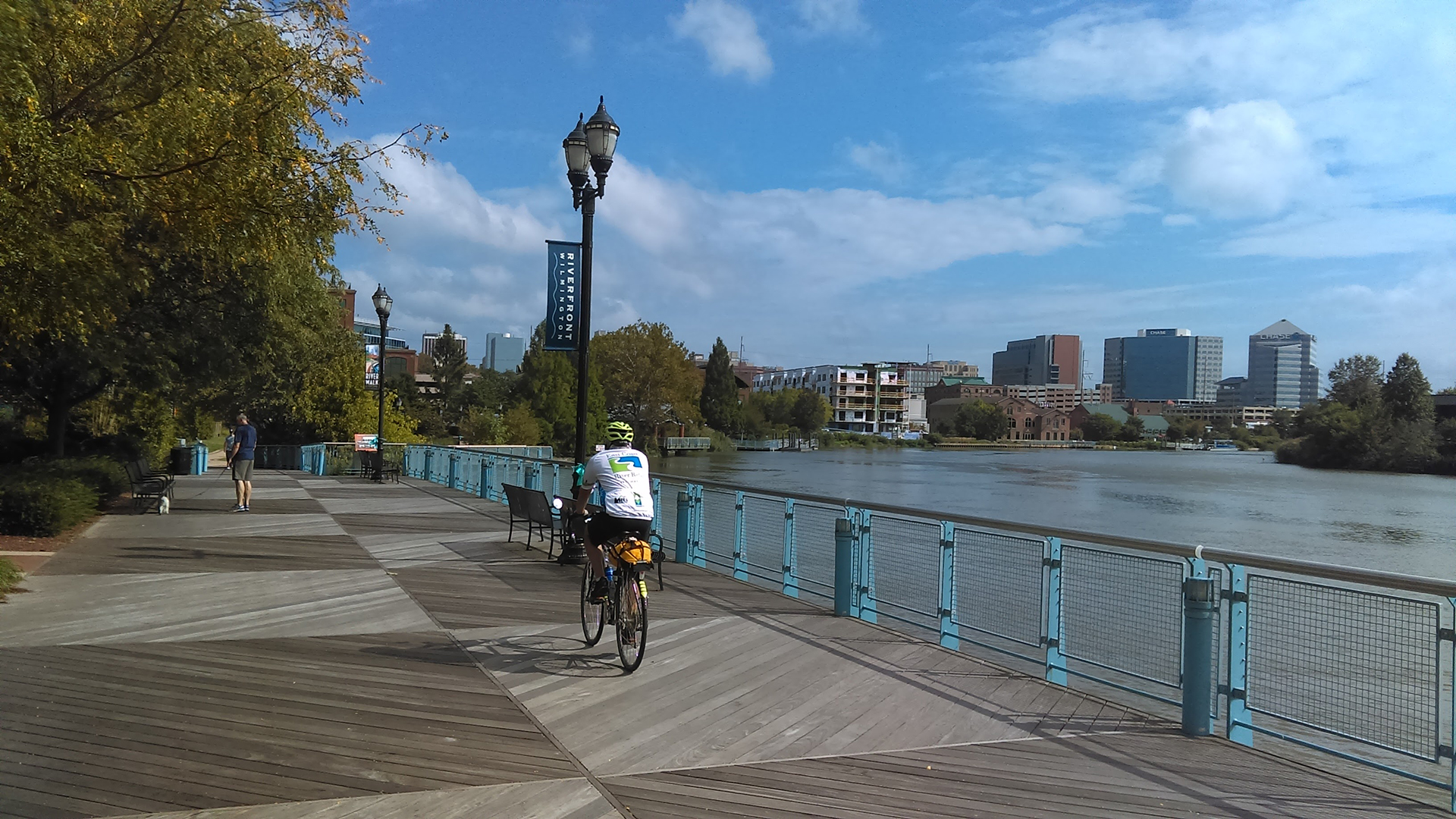
New Castle County
Explore Itinerary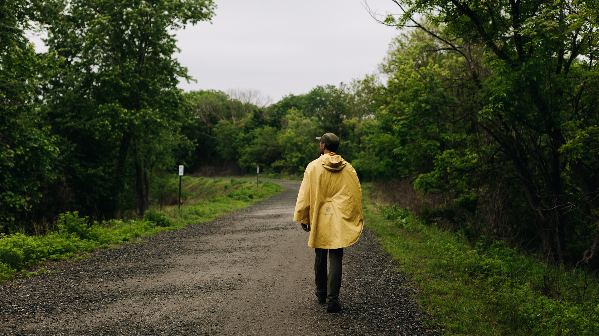
John Heinz National Wildlife Refuge Trail
Explore Itinerary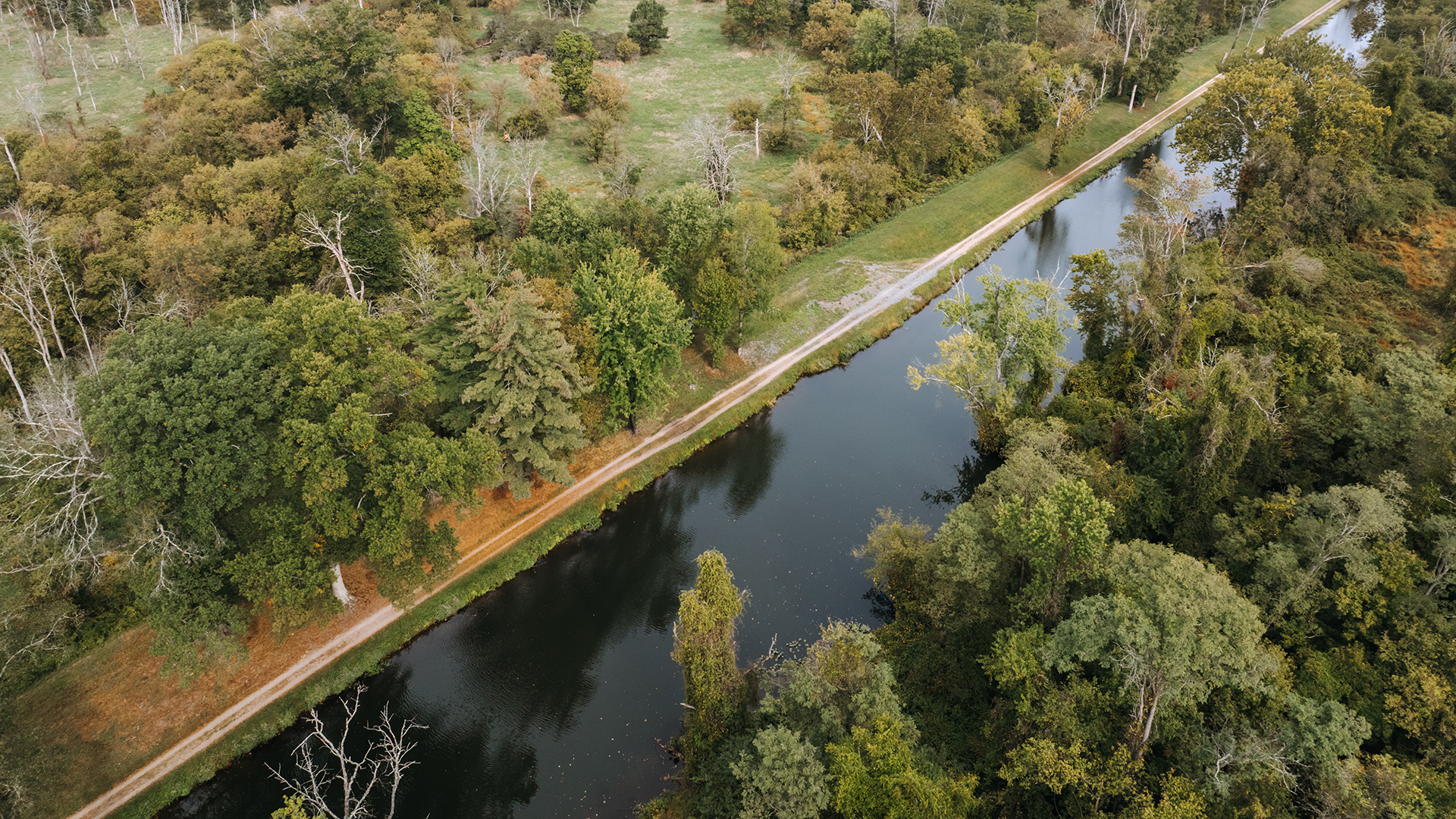
D&R Canal Towpath Trail
Explore Itinerary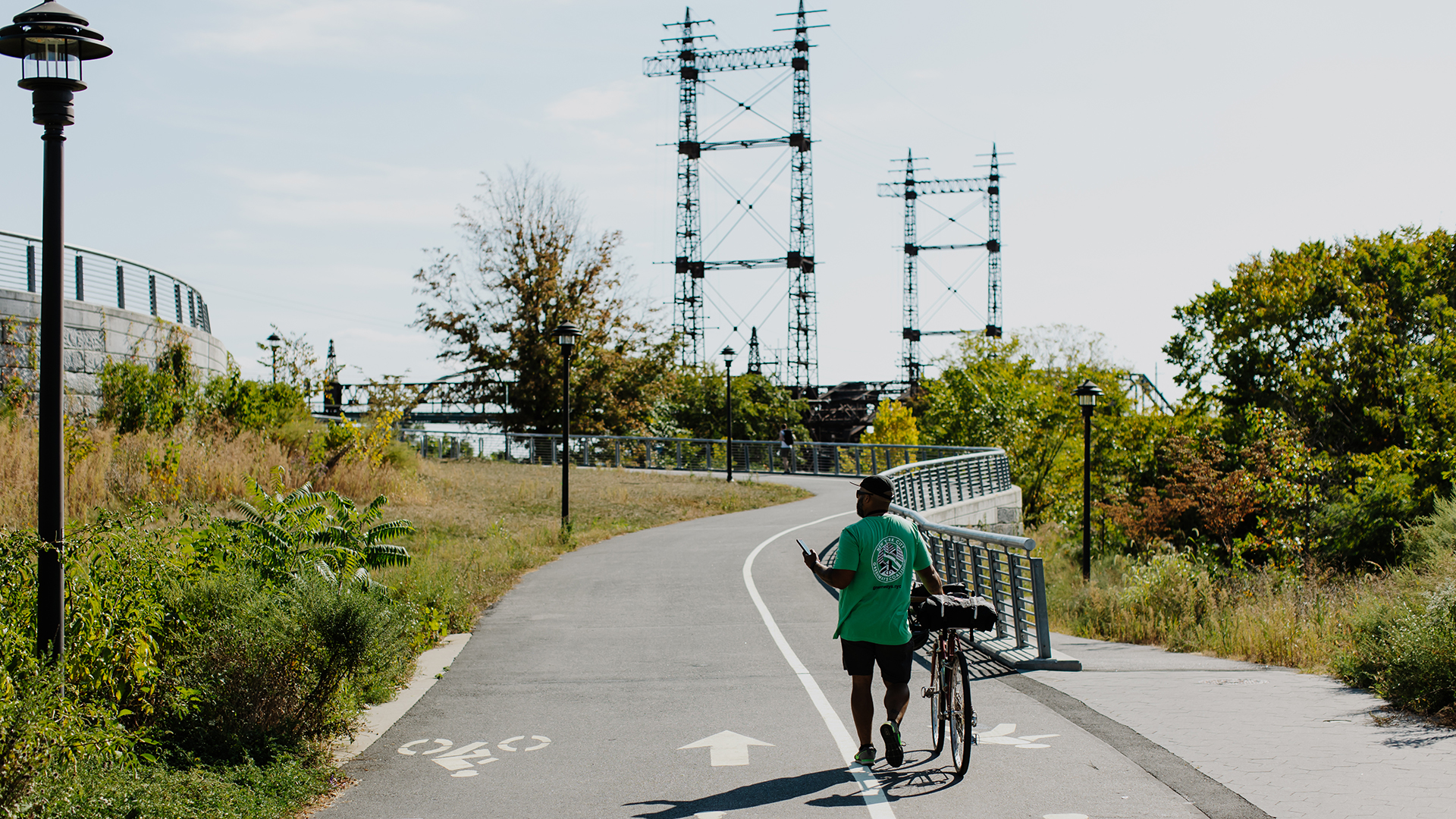
Bronx River Greenway
Explore Itinerary
Hudson River Greenway
Explore Itinerary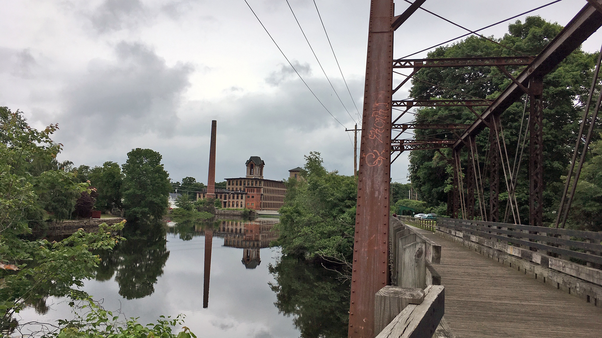
Washington Secondary Bike Path
Explore Itinerary
Charles River Bike Path
Explore Itinerary