News

Filter
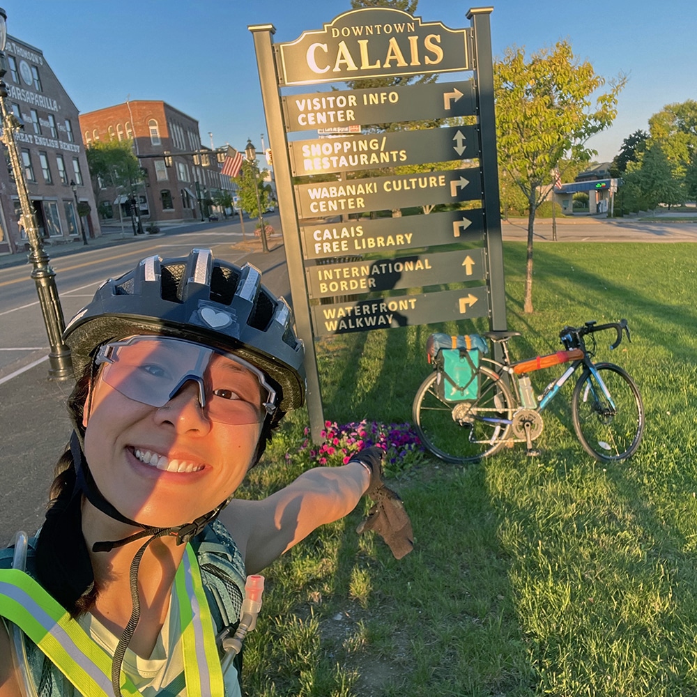
Public transportation options to Calais, Maine, the northernmost point of the East Coast Greenway
Read More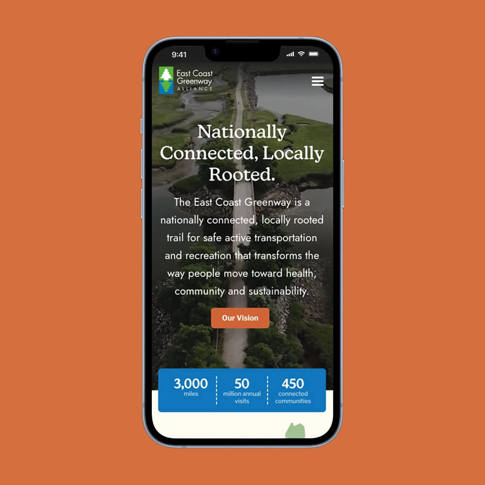
Welcome to the new greenway.org
Read More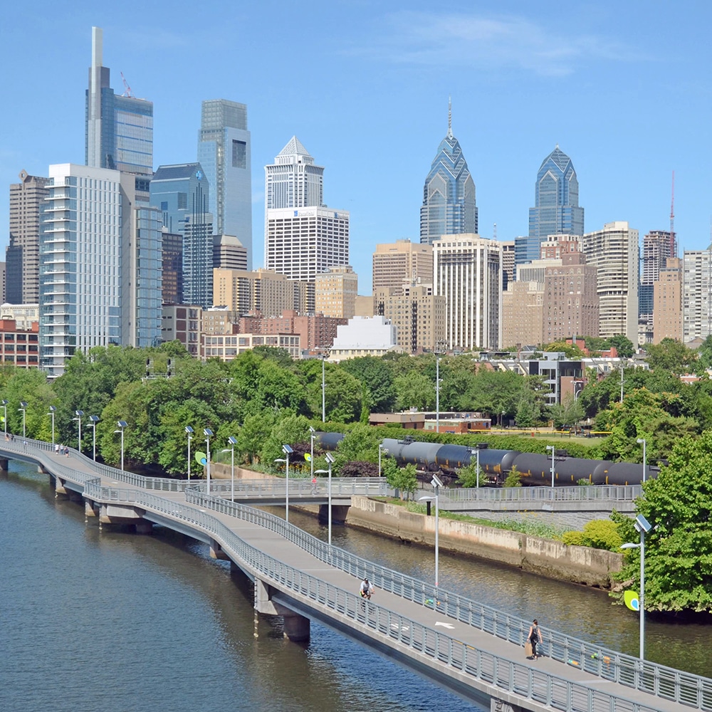
Celebrating our 250th & stepping up for the “Infrastructure of Democracy”
Read More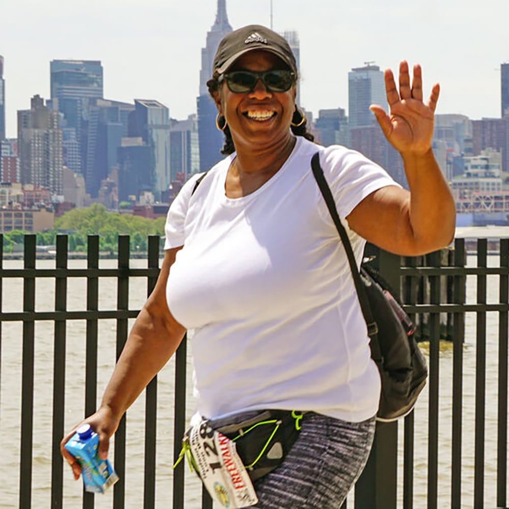
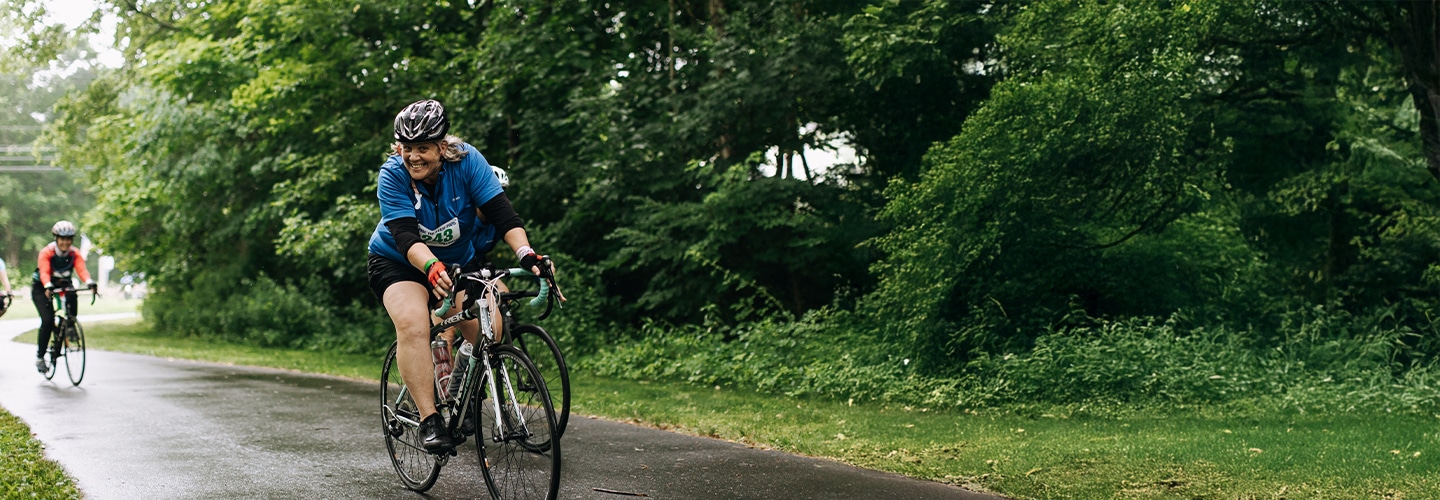
Long-distance walks lead to fitness, friendship
Read More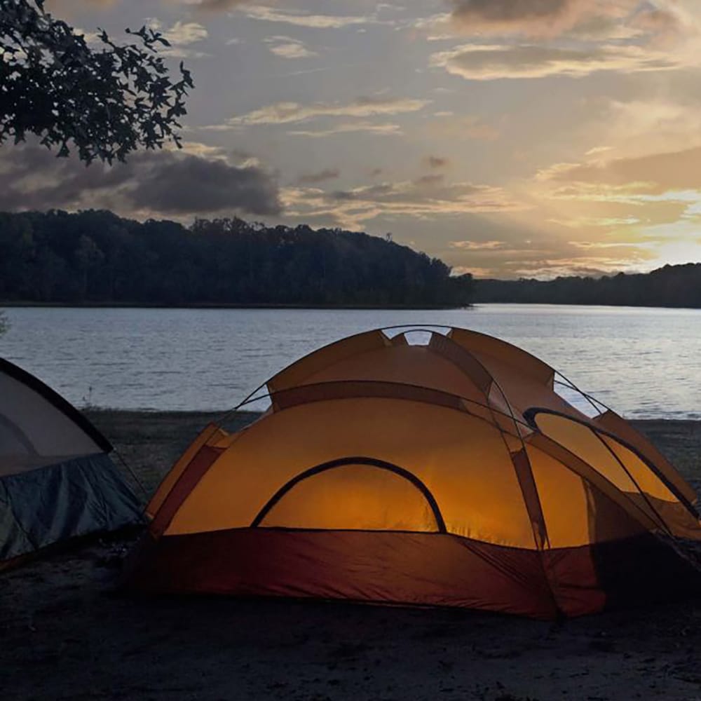
Room with a view: State park campgrounds along the Greenway
Read More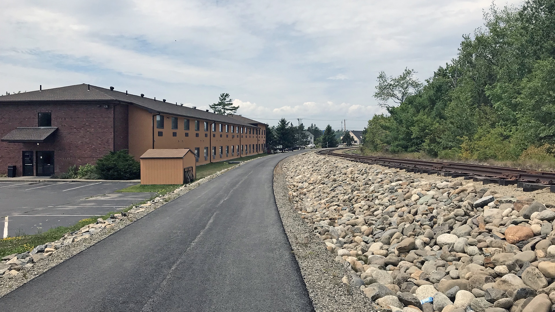
A trail transformation
Read More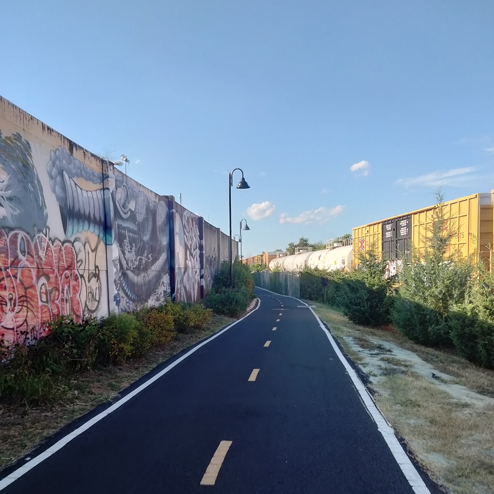
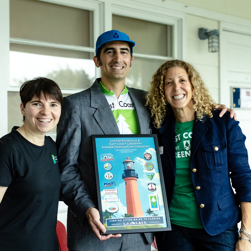
2025 East Coast Greenway designations
Read More
2025 East Coast Greenway state-by-state highlights
Read More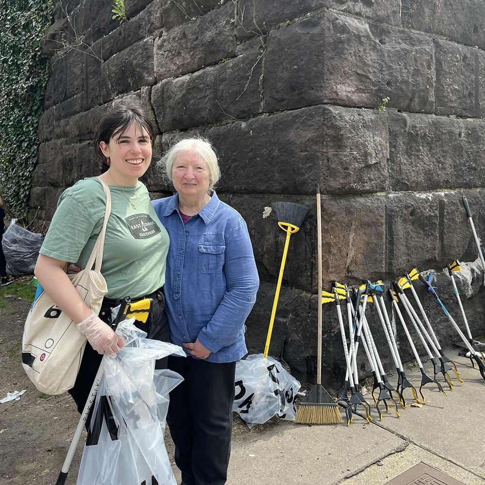
Sixth Street Embankment moves closer to becoming a generational Greenway asset
Read More
Championing the Greenway in DC during a time of cuts and uncertainty
Read More
Massachusetts awards $2 million in support of East Coast Greenway and adjacent projects
Read More